Updated September 18, 2025
Here is my exact Dolomites hut to hut hiking 3 days itinerary (by the hour!).
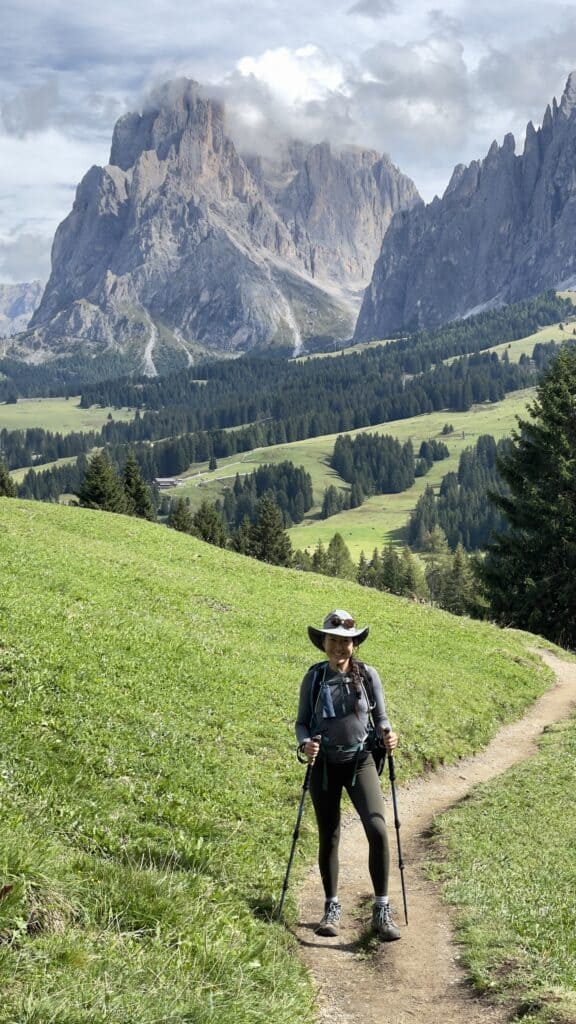
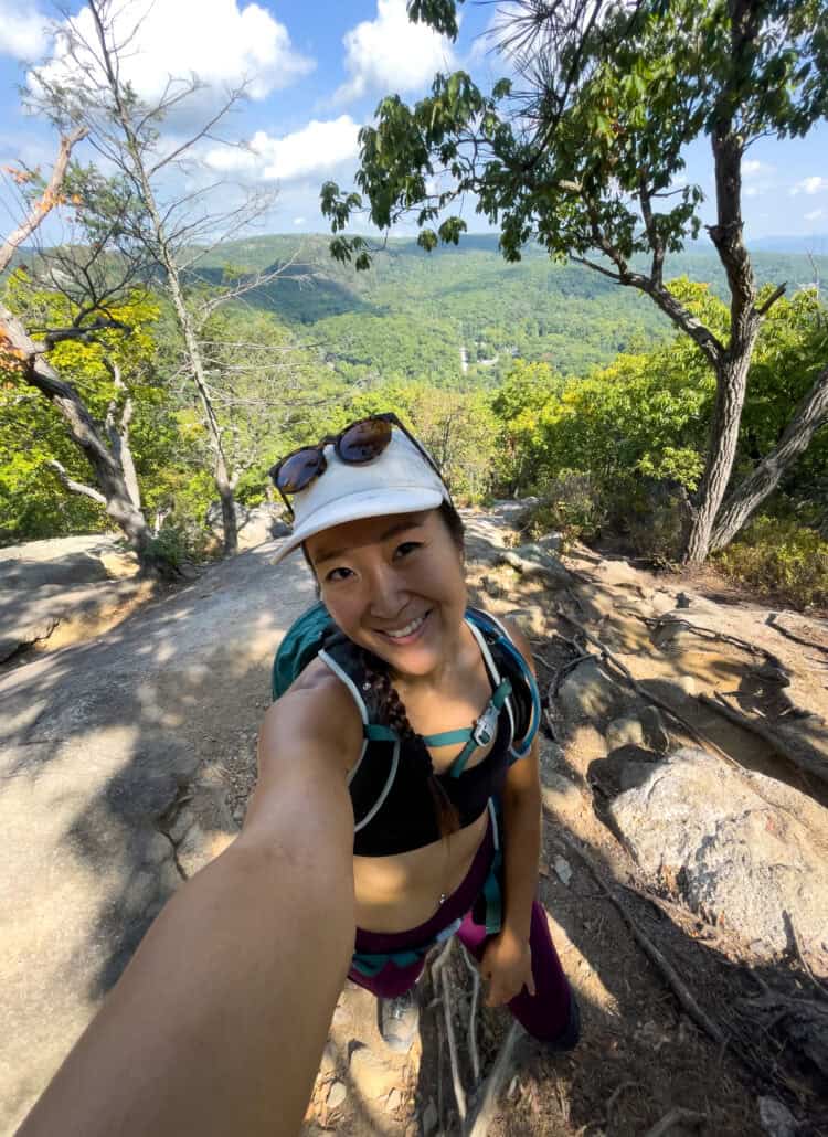
The Dolomites have been the most beautiful thing I’ve ever seen in my life so far, period! I’m not kidding!
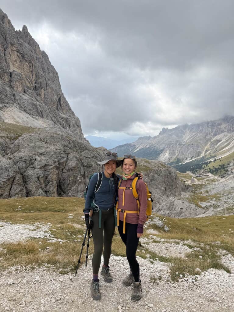
I couldn’t help but gasp and coo at the incredible views. Coming from NYC — I couldn’t believe the panoramic, 360 views most of our hiking route.
If you’re someone comfortable with the idea of running 6 miles (10 km), then this route will be challenging but totally do-able for you.
Here is our exactly Dolomites hut to hut hiking 3 days itinerary!
FAQs
Where should I set as my base camp / starting point?
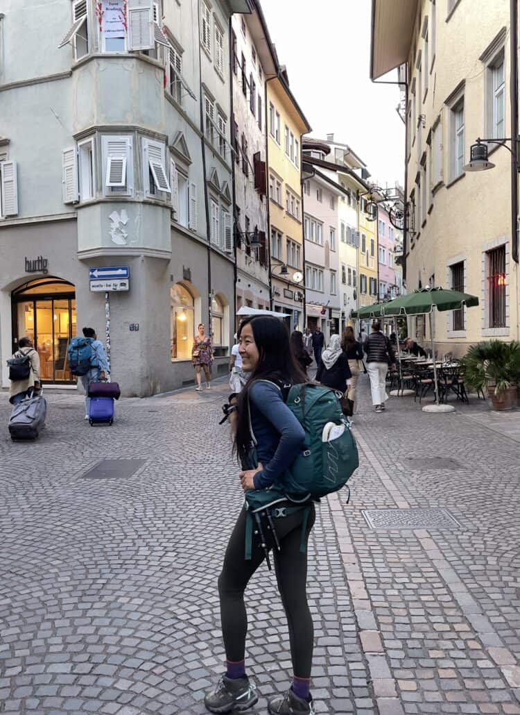
I would recommend staying in Bolzano. It feels like a small town, but there’s culture, food and good vibes.
Plus, it’s a lot cheaper than Ortisei, another common place to base your Dolomites hiking.

Where should I fly into?
I took the train from Milan, and it took much longer (flying in from NYC).
If you end up choosing Bolzano as your starting point, I’d recommend flying into Munich, then taking the train (like my friend did).
What route did you do (without a car)?
We did the Rosengarten Loop Trail.
Since it’s a loop, we could leave our luggage at our accommodation in Bolzano, then return there post-hiking.
(We followed Moon & Honey Travel’s blog post!)
What huts did you stay in?
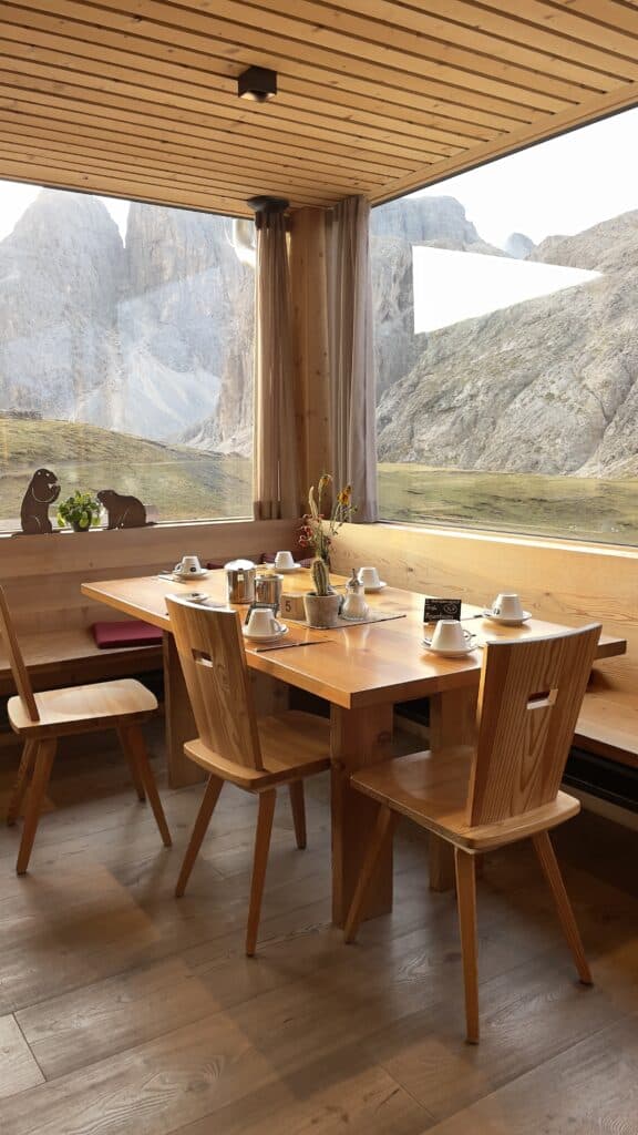
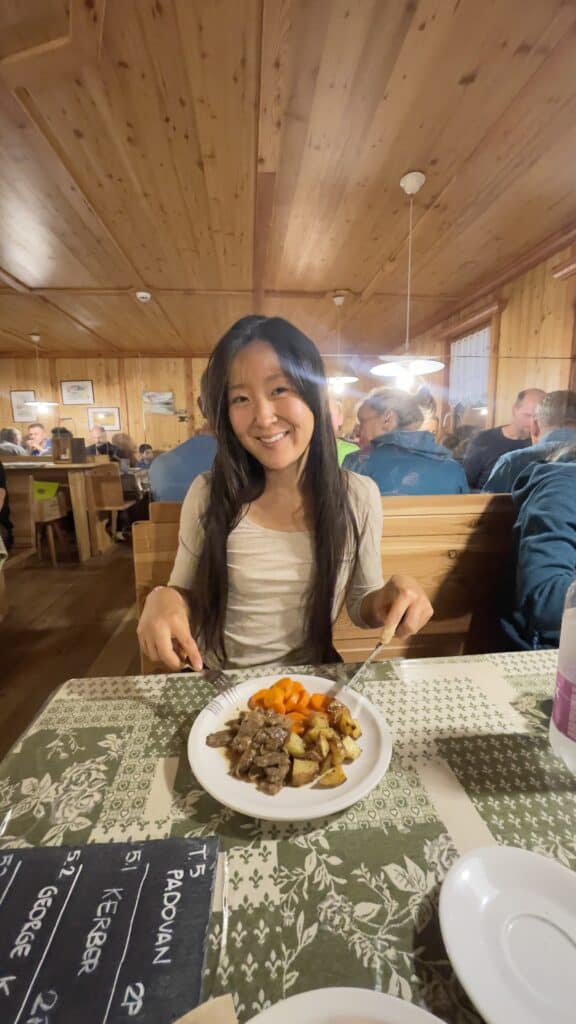
We stayed in Rifugio Alpe di Tires on our first night.
We then stayed in Rifugio Antermoia on our second night.
What should I pack?
Here’s my exact packing list.
I brought my Osprey 20L backpack with a 2L water bladder and found it to be perfect.
I borrowed my cousin’s sleeping bag liner, inflatable pillow (to place on top of the huts’ pillows), and a quick-dry microfiber towel.
My sliders were perfect for chilling in the hut & to wear while showering.
Next time, I’d leave my cash behind (all the huts took credit card, with no problem!).
I didn’t bring a water filter, but that was no problem because I just bought bottles of water (some huts don’t have potable water).
Dolomites Hut to Hut Hiking 3 Days Itinerary
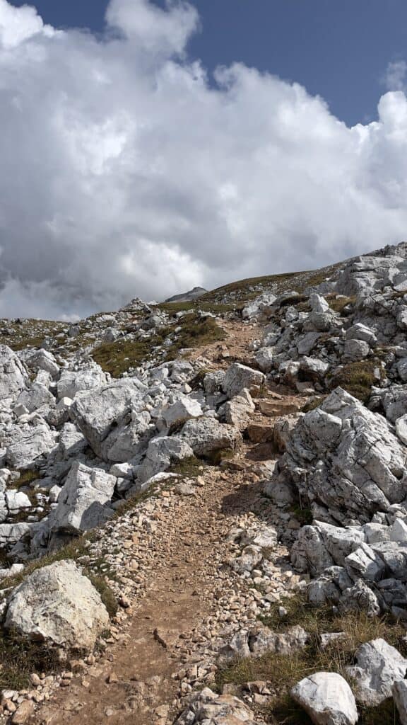
This loop hike is in the Rosengarten mountain range.
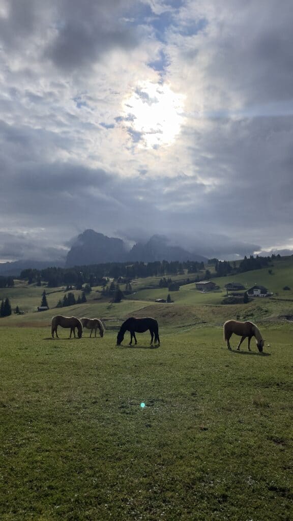
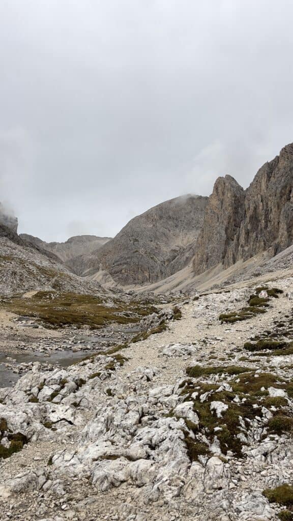
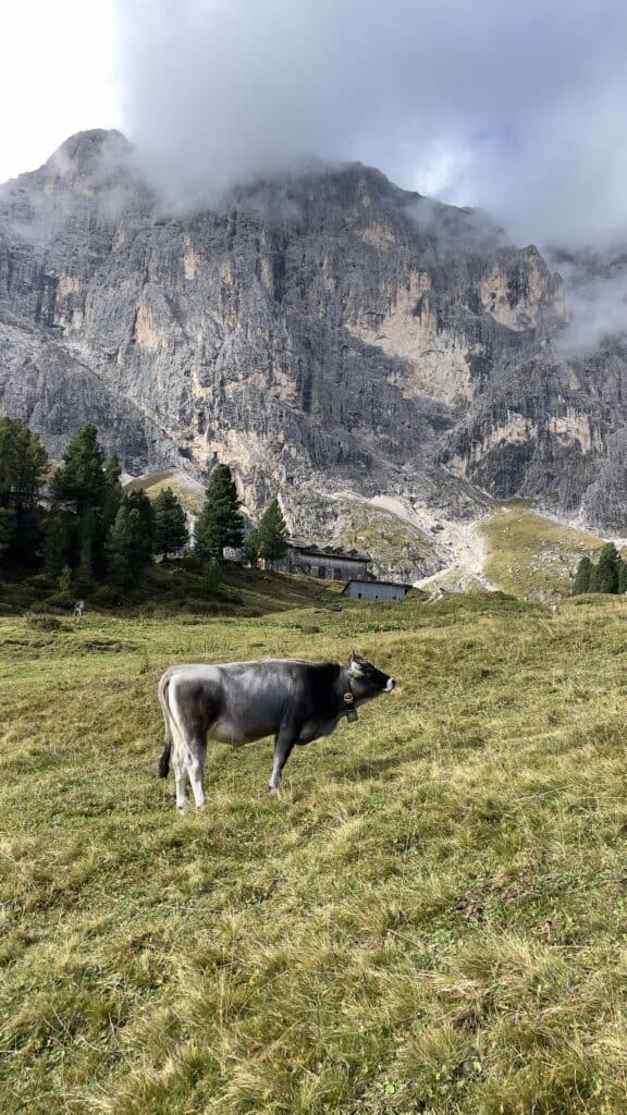
The views are breaktaking and the landscape varies from terrain to terrain, from the barren loose rocks, to the lush cow pastures.
Day 2 is the most physically and mentally challenging of the days, because there is significant ascent as well as almost equally steep descent.
- 📏 Total Distance: 33 mi (53km)
- 🔼 Total Ascent: 11,650 ft (3,550m)
- ⬇️ Total Descent: 11,550 ft (3,520 m)
Day 1: Bolzano to Rifugio Alpe di Tires
- 📏 Distance: 10 mi (16 km)
- 🔼 Ascent: 4,420 ft (1,350 m) | ⬇️ Descent: 2,440 ft (743 m)
- 🥾 Time: 5.5h
- 🗺️ Map: Compaccio – Rifugio Bolzano – Rifugio Alpe di Tires (Stop at Rifugio Alpe di Tires, instead of doing the full loop as in this map)
8am: 🚌 Bus from Bolzano to Alpe di Siusi
We stayed overnight in Bolzano before our first hiking day and left our luggage with our accommodation.
Then, we took bus 170 from Bolzano Bus Station to Cabinovia Alpe di Siusi.
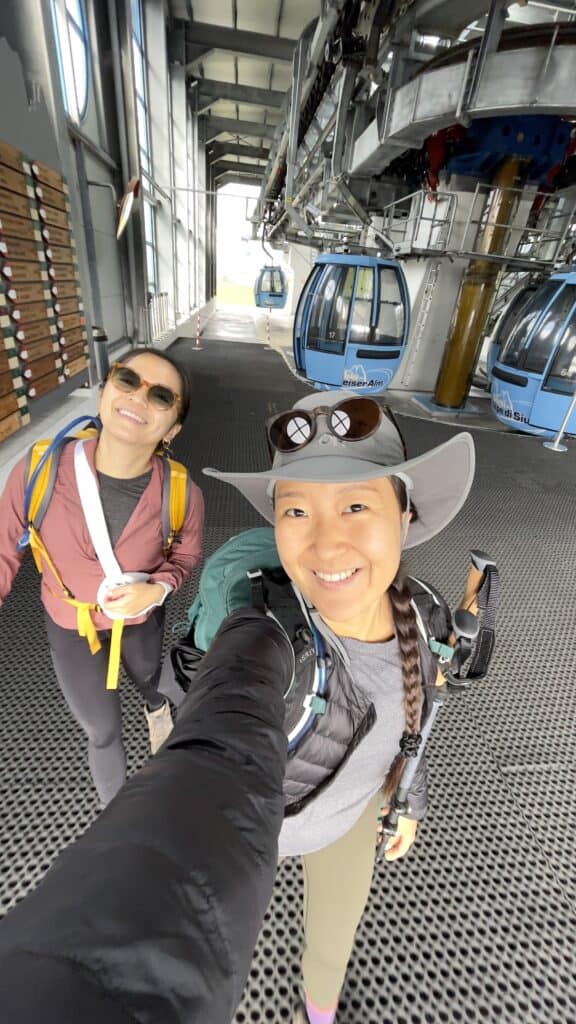
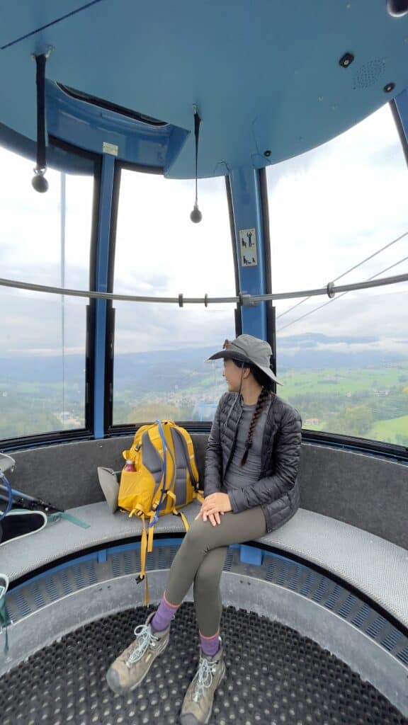
9am: 🚠 Cable car from Alpe di Siusi to Compatsch
The cable car from Alpe di Siusi to Compatsch is 15 minutes long.
You can buy tickets there. I’d recommend buying round-trip tickets (since we’ll betaking the cable car back once we finish this loop trail).
One-way is 19.50 EUR, but a round trip is 28.50.
10am: 🐴 From Compatsch > Trails 5, 10 and 1 along Sentiero del Turisti to the Sciliar Alpine Plateau
12:30pm: 🥪 Lunch break near Rifugio Bolzano!
1pm: Trail 4 along Schlern Massif
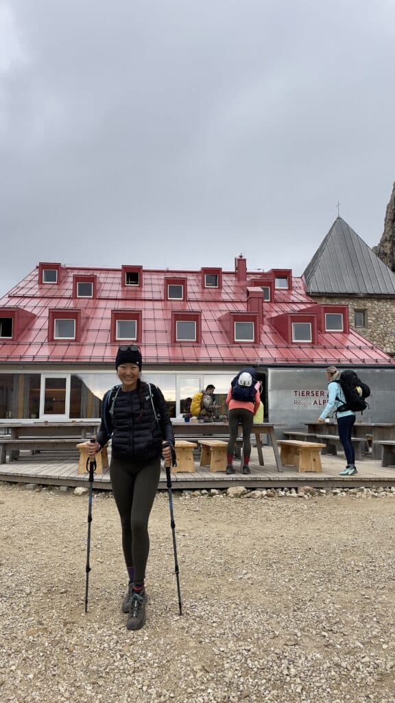
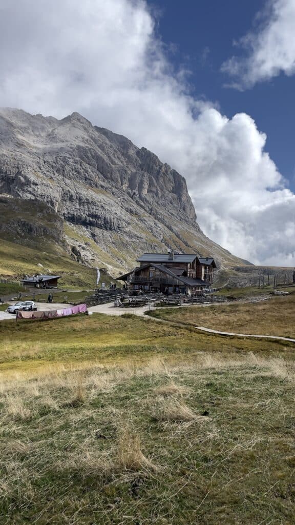
3:30pm: 🛏️ Arrive at Rifugio Alpe di Tires
Classy, bougee hut! The food was tasty and the views were great. Hot shower was 5 eur by card.
Day 2: Vajolet Towers to Lago di Antermoia
- 📏 Distance: 10 mi (16 km)
- 🔼 Ascent: 4,530 ft (1,380 m) | ⬇️ Descent: 4,350 ft (1,326 m)
- 🥾 Time: 7.5h
- 🗺️ Map: Rif. Alpe di Tires to Gartlhutte, Gartlhutte to Rif. Antermoia
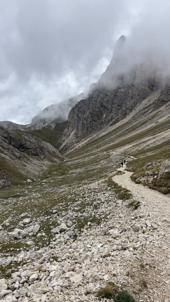
This second day is the most challenging. Though there is a similar amount of ascent and distance, the significant descent was challenging.
While I barely had to rock scramble on the first day, I was definitely not shy about using my hands on Day 2.
8:45am: 🥾 Depart from Rifugio Alpe di Tires > to Trails 3A, 11
You’ll face some of the hardest parts of this loop trail. Don’t worry, it’s nothing you can’t do!
There’s a steep rocky uphill, followed by a very sharp downhill.
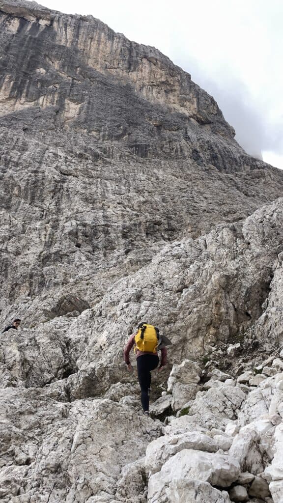
Get ready to balance yourself on rocks (or by getting on your bum).
I personally liked having gloves for this, but many people did it barehanded.
2:50pm: 🛖 Arrive at Rifugio Passo Principe > to Trail 584
12:30pm: 🥪 Lunch + Pics at Gartlhutte / Rifugio Re Alberto (base of the Vajolet Towers)! Then retrace your route to Rif. Passo Principe
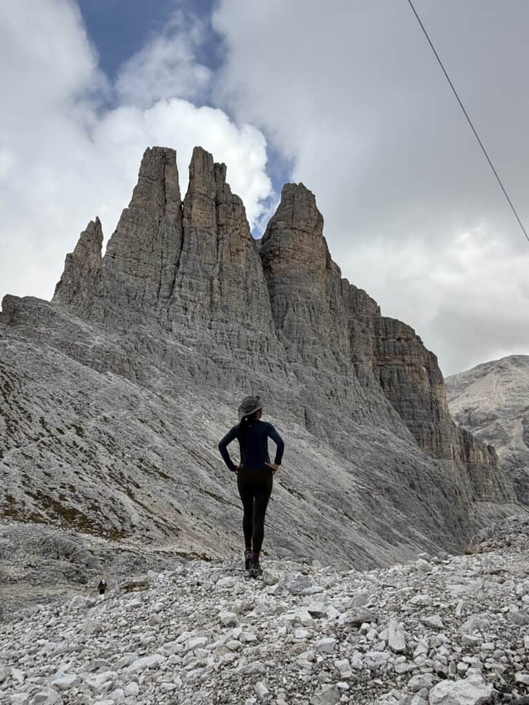
3pm: ⛰️ From Rif. Passo Principle, go along Trail 584
There’s challenging steepness and downhills again here (with loose rocks).
Then, you hit a flat section.
And now, the most challenging part of your loop hike is behind you!
4:30pm: 💧 Snap pics of Lago di Antermoia
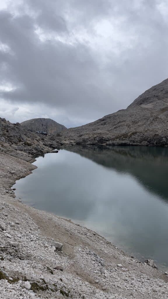
4:40pm: 🌙 Arrive at Rifugio Antermoia for the night!
Day 3: Antermoia to Sasso Piatto to Compatsch/Bolzano
- 📏 Distance: 13 mi (21 km)
- 🔼 Ascent: 2,700 ft (822 m) | ⬇️ Descent: 4,760 ft (1,450m)
- 🥾 Time: 6h
- 🗺️ Map: Lago di Antermoia to Rif. Sasso Piatto (skip the part from Rif. Micheluzzi to Antermoia), Sasso Piatto to Compatsch (take the trail backward & skip the part from Rif. Alpe di Tires to Rif. Sasso Piatto)
Day 3 doesn’t have much uphill, but the distance you need to cover is longer and there’s similar descent as Day 2.
It wasn’t as challenging as Day 2 and was a good way to end the loop trail!
8am: 🏡 Depart from Rifugio Antermoia > to Trails 580, 555, 532
8:30am: ⛰️ Arrive at Passo Duron > Trail 4,594
11:20pm: 🥪 Lunch break near Rif. Sasso Piatto > Trails 9, 7A
2pm: 🐮 Arrive at Saltria > Trails 30 & 14B
3pm: 🚡 Arrive at Compatsch & take the cable car back to Alpe di Siusi
3:15pm: 🚍 From Alpe di Siusi, bus back to Bolzano
4pm: 💤 Arrive in Bolzano

Dolomites Hut to Hut Hiking 3 Days (Conclusion)
In this guide, we went over an hourly Dolomites hut to hut hiking 3 days itinerary.
Thanks for checking out my Dolomites hut to hut hiking itinerary!

Leave a Reply